


Wed, Jan 10th, 2024 - 4:56pm
February 09, 2021 - 6:48am | By Dean Wysocki

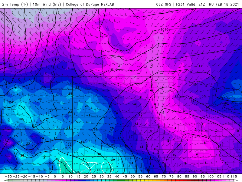 Let's analyze the 1st map for Sunday. These are temps just above the surface with the core of the arctic air mass over ND with temps between -25 and -40 below. Wind chills this weekend will be between -40 and -60 below!! The next map shows "warmer" air pushing in from the west with temps next week in the 20s to our west and single digits and teens for the valley. Inbetween now and then there will be a few minor shots of light snow. One round on Thursday with a dusting of snow then another round of light snow next Tue/Wed as "warmer" air fights into the area.
I've been asked, after this arctic outbreak moves out next week is that it? Well, I don't forsee 2 weeks of a stretch of polar air like that but it looks like below normal temps stick around through March. We are seeing signs of snowier days ahead in March and April as well. The good news, if you look hard for it, is our long range models turn it around in a hurry once mid April arrives if not a bit sooner.
Stay safe this week as wind chills in the northern Valley will be life threatening. Frostbite can occur within a matter of minutes!!
Chief Meteorologist,
Dean Wysocki

