


Wed, Sep 6th, 2023 - 3:26pm
November 24, 2021 - 10:13am | By Justin Storm
Outside of a couple of slight chances for a little light rain/snow or mix coming this weekend I don't see any traveling impacts for thanksgiving. Things along with that look to stay mostly dry, outside of again a couple of slight chances for a little light precipitation. There are no large storm systems insight or cold snaps. Cold air is building up in Canada but doesn't look like that's going to pull south. We will just keep an eye on that cold air as we transverse into the winter. We are also keeping an eye on the potential for a couple of possible larger systems tracking through the first half of December as foreseen with the LRC pattern we are in but, exacting timeframe/days remain unknown until our pattern recycles. (check out our related LRC articles and podcast on what the LRC is and how it is used.
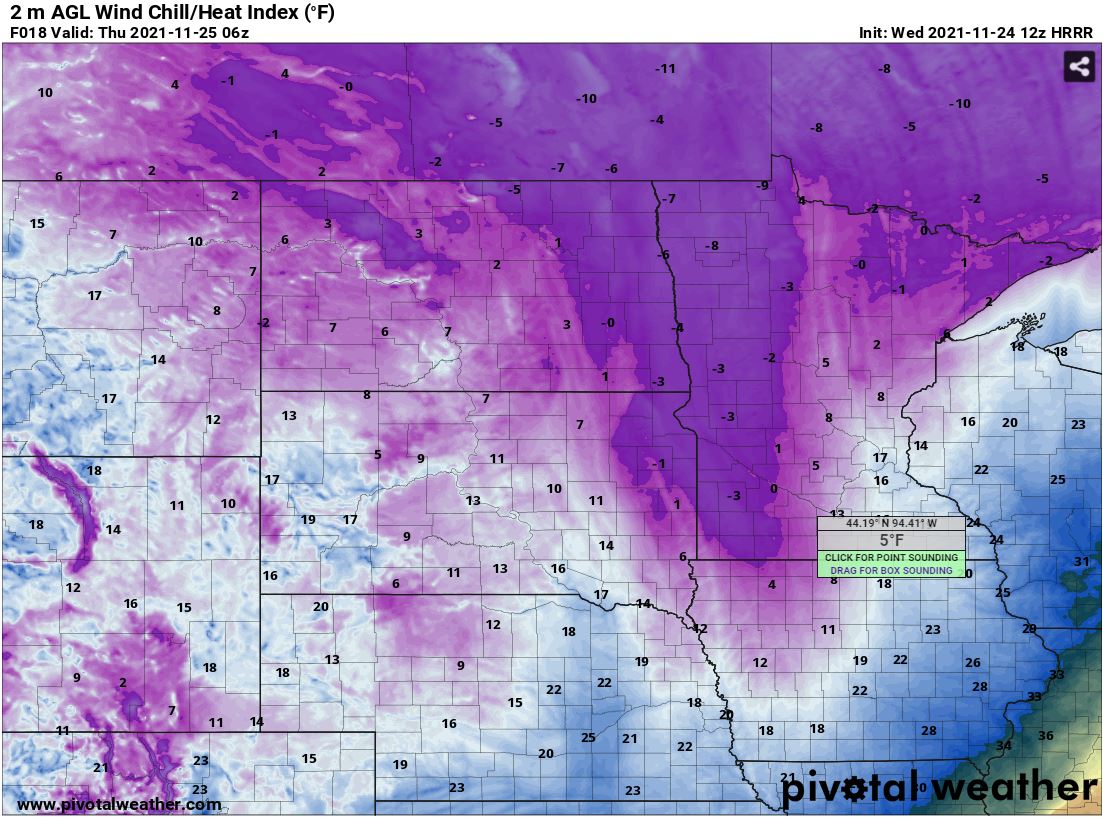
Today, Wednesday 11/24/21 will bring us cloudy, windy, and cold conditions. Falling temps through the afternoon into the teens, factor in the wind from the NNW between 15-25 mph gusting up to 35mph, windchill will drop below zero by evening. We also will have a slight chance for a light snow dusting/flurries through the early afternoon. Little to no accumulation is expected. May bring some reduced visibility if snow flies with the windy conditions, but I don't suspect much to any traveling impacts.
Overnight we will clear things out and the winds will lighten up between 5-15 mph. Temperatures will drop down into the single digits.
Thanksgiving day will bring mostly sunny skies, winds will be much lighter from SE between 5-15 mph with a high in the mid to lower 20's.
Friday the clouds roll back in giving us variable sky conditions through the day with SSE winds between 10-20 mph and a high in the mid 30's.
Saturday morning there will be a slight chance for snow or a wintery mix, then partly sunny through the rest of the day on Saturday with a high in the upper 20's.
Mid 30's then continue into Sunday with a slight breeze.
General extended forecast:
Looks like a couple of chances for some snow next week and possibly even a little rain as it looks like we may see another day or maybe 2 in the lower 40's!
Attached below is the GFS American model expected snowfall into Sunday afternoon.
Meteorologist,
Justin Storm


