


Fri, Jan 12th, 2024 - 7:42pm
January 31, 2023 - 3:53pm | By Justin Storm
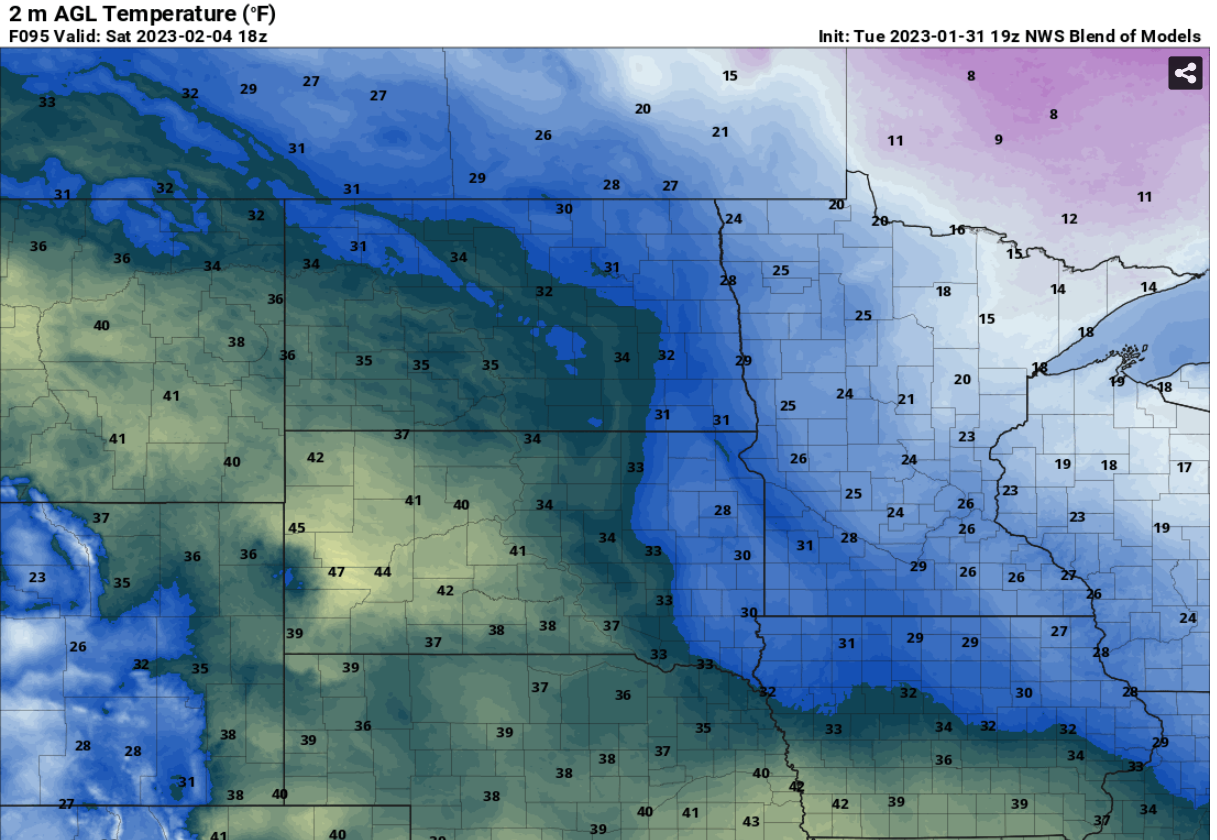
I'm sure we are all a little sick of the big cold... The good news is warmer weather is on the way for the weekend.
We do have a couple of chilly days to get through first. Wednesday looks to play out as a pretty semi-decent afternoon, Not overly sunny as partly sunny skies look more likely through the day, but the wind will be light from the southwest between 5-10 mph with temperatures near 10 above. We will get a reinforcement of arctic air through on Thursday and Friday. A cold front will drop out of Canada overnight Wednesday causing the winds to accelerate out of the north between 15-30 mph into Thursday morning, this will cause some patchy drifting/blowing snow and also provide a chance for some light snow through the valley, mainly through the central and northern valley and into northwest Minnesota...looks to just be a light dusting. Behind the cold front arctic air will spill back into the area. Highs on Thursday will be before the sun rises with falling temperatures below zero through the afternoon. Although sunny, It will be breezy Thursday afternoon... thankfully the wind will lighten up a bit through the day, wind chill values will be between -20 and -35. Overnight Thursday temperatures will drop to about (-14 - > -20 ) give or take a couple of degrees based on cloud cover. Wind chills will again be around 20-35 below zero. The temperature will break above zero on Friday but not by much before we get hit with some 20s and 30's for the weekend although a little breezy on Saturday. There will be a slight chance for some flurries/light snow and or a couple pockets of little freezing drizzle overnight Saturday.
Meteorologist,
Justin Storm


