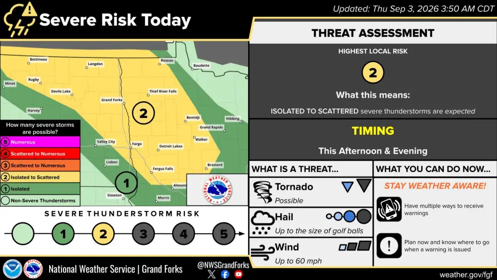
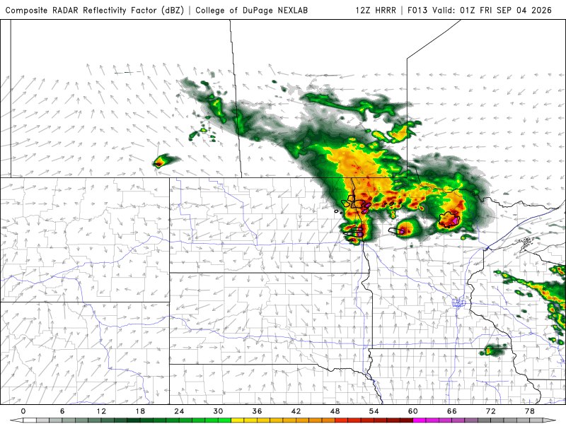
A strong upper level wave will ride out of MT/WY area into ND this evening. As it does, it will likely trigger off some strong to severe storms after 5pm. SPC (Storm Prediction Center) has put most of the area in a slight risk for severe storms from about 5pm to 10pm this evening. Large hail, damaging winds and an isolated tornado is possible. Here’s a look at simulated radar this evening around 7ish:
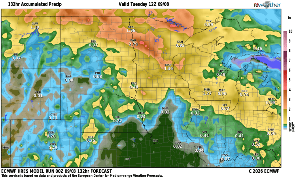
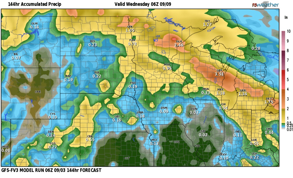
The BEST chance for severe storms is just north of the F/M area but it’s close enough to watch. Storms will be east of the area by midnight leaving a quiet night ahead. Then our attention focuses on the holiday weekend. If you have outdoor plans, Fri/Sat. look to be your best days with higher rain chances coming in on Sunday into Labor Day. Temps will be hot on Fri/Sat then cooling off a bit on Sun/Mon due to the rain. Here’s a look at some rainfall expectations across the area. The HEAVIEST rain is expected just north of the F/M area, however, most of us getting a GOOD soaking: