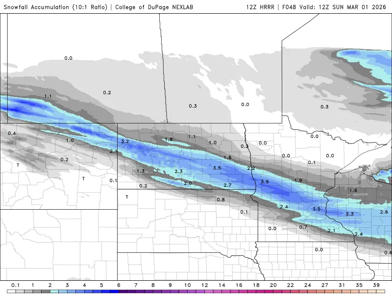
A cold front has passed through the area as winds will increase this afternoon but relax a bit toward evening. Then, our attention turns to a “weak” weather system that will bring some light snow across the state. The main snow band will fall to the west and south of the F/M area. Here’s a look at a couple of computer models thoughts:
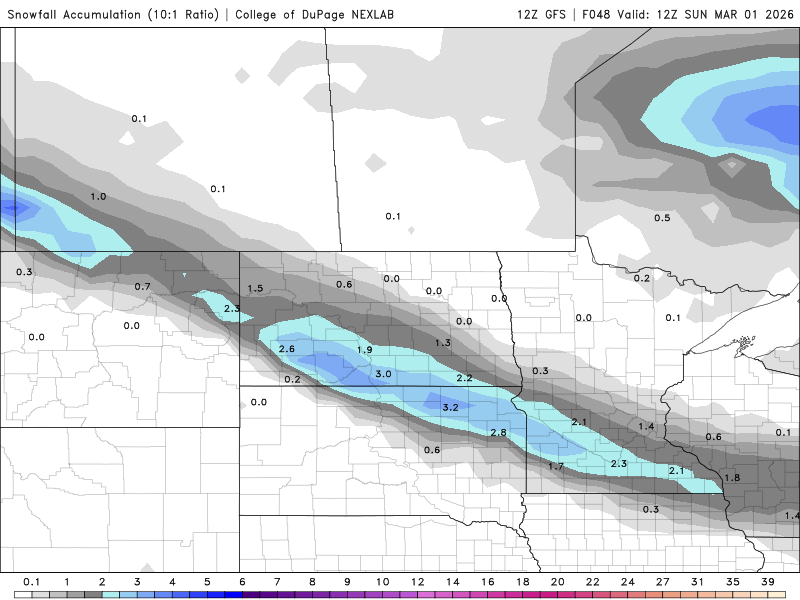
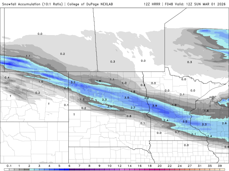
One model keeps the majority of the snow to the south of the F/M area while a different model pulls the snow a bit farther north into the F/M area with some light accumulations. If you have travel plans to the west or south of the F/M area on Saturday please be aware that slippery travel with a few inches of snow is likely. The rest of the weekend looks COLD with highs in the single digits on Saturday and teens on Sunday with nighttime lows 0 to -10
Now, next week we will start off on the mild side with temps in the 30s to low 40s!! However, by the end of next week, we are getting some strong signals of the potential of a stronger system bringing more winter weather into the area…..stay tuned….