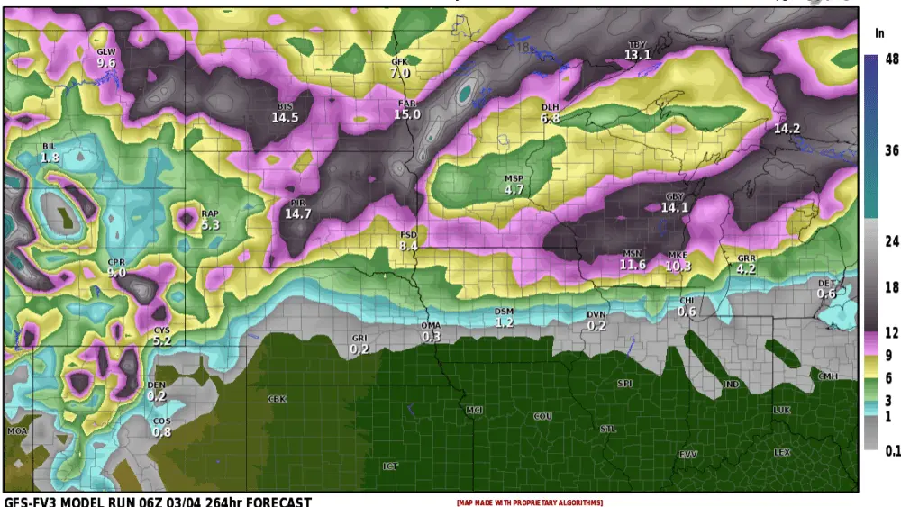
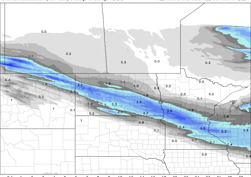
Our first winter storm of the season is always a fun one isn’t it? Heavy snow has already blanketed the western and northern parts of the state with 6+ inches of snow. Now the MAIN part of the storm is taking shape and pulling out of the Rockies. I’ve attached 3 snowfall potential maps. This is for ADDITIONAL snowfall for areas that have already received snow. One thing the models are agreeing on is pulling the accumulating snow a bit farther SE toward the Fargo/Moorhead area. It appears the rain will mix with then quickly change to snow just prior to midnight in the F/M area. There will be slippery travel around the F/M area around the midnight hour. F/M area could see 1-3″ by Friday morning. For your Friday morning commute, the snow should be gone BUT I’m still expecting some slippery travel as temps will be in the 20s. We stay cold all the way through Halloween with a light snow event possible next Monday. If you have to travel west of the Valley on Thursday, please keep up to date on latest road conditions.
Chief Meteorologist,
Dean Wysocki