Temperatures have remained below average in North Dakota and the area due to cold air pumped into the area behind our last snowstorm in late October. We are watching an interesting LRC (Lezak Recurring Cycle) setting up, now entering the fifth week of this year’s pattern. We started off nice then turned stormy and cold. Blocking in the atmosphere has played a big role in the weather pattern and this years LRC. What is blocking? Blocking is basically explained as an area of high pressure or ridge that disrupts the normal westerly progression of the jet stream (when the upper-level jet stream bulges north not allowing waves to pass through its normal westerly progression. Typical blocking lasts for days even weeks, but blocking can also play over a shorter time span, generally referred to as weak blocking. Blocks either need to break down or a wave needs to be strong enough to move it.)
Blocking to a degree will continue to impact the pattern as we turn into the fifth week.
Storms are holding offshore in the Pacific due to blocking, which is expected to break down over this weekend, just to reinforce next week. The Pacific Northwest is expected to get blasted with rain and snow in the higher elevations. Due to the blocking, most of the energy associated with these upper-level waves will stall and deflect northward and spin offshore and up toward Alaska.

Some energy is expected the branch off and track east into the northern portions of the United States as the block weakens. Additional energy is expected to cut off and dive south giving some beneficial precip into portions of California and the Southern Plains towards the end of the following week (11/5/23 -11/12/23). Here in North Dakota I am expecting a couple of fragments of energy to push into the area Sunday (11/5/23) and around Wednesday (11/8/23). More on those disturbances later on, but I will add details on the Sunday event later on in this article.
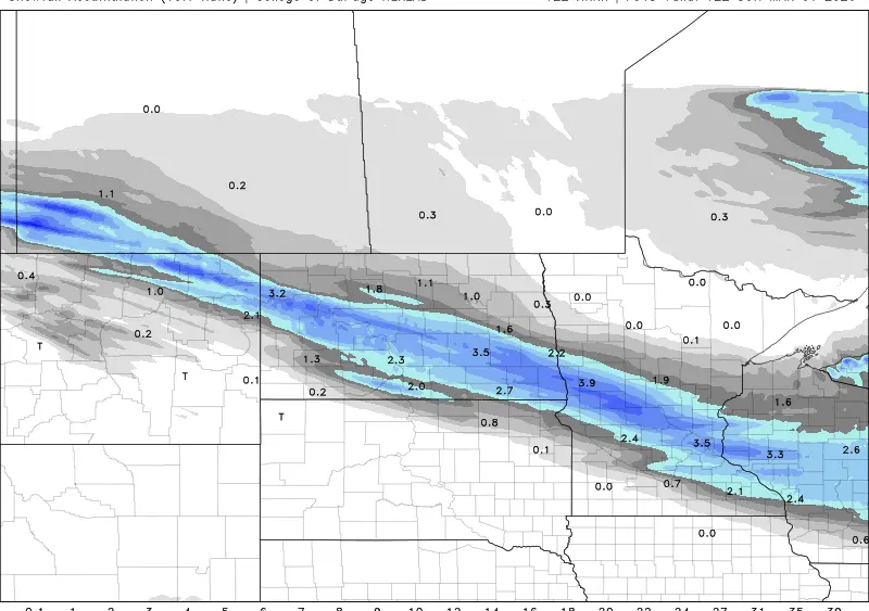
Here are additional maps/charts showing the progression of energy across the United States and expected precipitation over the next 10 days.


Keep in mind this is over a ten-day time frame and only output from the European model. exact placement of how these waves and lows will track, as well as exact amounts of rain and or snow accumulation.
What does this mean for the LRC pattern? Well, it’s technical but I’ll put it in simple terms for this portion of the cycle. If blocking continues and repeats in the second cycle of the LRC through this winter. More waves of energy will be deflected north and southward with only fragments passing through the central portion of the country. Not good for drought areas, but at the same time helpful for areas of the Southern Plains as well as the parts of the West Coast to relieve dry areas. This will ultimately come down to how the rest of the pattern sets up and to what degree the blocking occurs. The blocking off the West Coast that’s expected to develop next week may lead to possible arctic air outbreaks throughout the central and eastern United States in future cycles through the winter.
Let’s focus on Fargo and the greater area now. I expect a couple of fragments of energy that I spoke about earlier in the article. One of those fragments is expected to bring scattered showers on Sunday afternoon. For the most part a quarter of an inch or less with some localized areas slightly higher.

A second wave of energy is expected mid-next week. Still a lot of questions unanswered on this one. Strength, path, precip type, it is just too blurry from this standpoint right now but I do expect a chance for rain and snow next week. More on this second system later on.
Meteorologist,
Justin Storm