A Blizzard Warning has been issued for the Northern and Central Valley (Barnes, Cass, and Clay counties) as well as a winter weather advisory for the Southern Valley and portions of Western Minnesota until 6:00 pm Saturday.
Through Saturday expect areas of light snow and strong NNW winds between 20-40 mph producing areas of blowing and drifting snow. Subzero temperatures are also across the Northern Plains producing dangerous wind chills with the strong winds across the state. Within Eastern ND and portions of Minnesota -25 to -50 through our weekend (coldest west). There are wind chill warnings and advisories issued through the weekend. Areas of blowing and drifting snow and some flurries will continue tonight with NNW winds between 15-30 mph.
Saturday Temperatures and wind chills are expected through tonight into Sunday morning, plan on subzero temperatures continuing on Sunday.


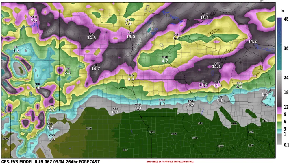
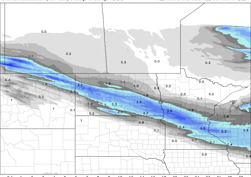
Expect drastically reduced visibility through Saturday down at a quarter mile or less. Blizzard-like conditions will likely occur at times in areas outside of the warned areas. I expect around an inch or less of additions accumulation through today. Expect difficult driving conditions through Saturday with dangerous wind chills stretching through the weekend.
Meteorologist,
Justin Storm