A marginal and slight risk for isolated and scattered severe weather has been issued for areas of North Dakota, Minnesota, and South Dakota. Later this afternoon after 4:00 pm be looking for storms to start developing around the area. As a cold front advances from the west, more storms are expected to develop and bring a chance for severe weather. The greatest threat for severe weather is going to be along and south of the I94 corridor in North Dakota. The main concerns are going to be large hail of 2 inches and 70 mph wind gusts possible. An isolated tornado or two is also possible, mainly while storms stay singular through the late afternoon to early evening.
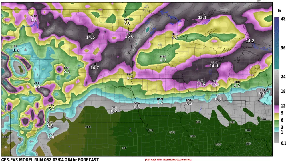
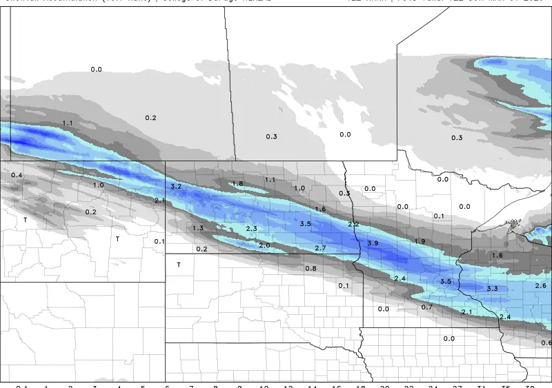
The main severe window looks to be from 4:00 to 9:00 pm then thundershowers and some storms remain through tonight with generally heavier steady rains. Another 1-2 inches of rain looks to come across eastern North Dakota through tonight into Friday with areas of higher amounts possible from thunderstorms.

Following this next round of showers and storms much colder weather enters the area on Friday where snow is possible around the Devils Lakes Basin and into Northern Valley with windy conditions. Temperatures around Fargo and eastern North Dakota will drop into the 30s and 40s with wind chills in the 20s to 40s, a brief slap of winter.


Meteorologist,
Justin Storm